
The international scientific conference ‘Tabula itineraria’ - cartographic collections in libraries, museums, archives and private collections is the sixth of the meetings dedicated to special collections.
Maps, atlases, globes, representations of space, more or less realistic visions and representations of the world, moving models and drawings, prints and navigations - these and many other terms related to travel, movement, exploring and discovering, and ultimately to describing and visualising topography, are just a selection of the issues to which the next meeting will be devoted.
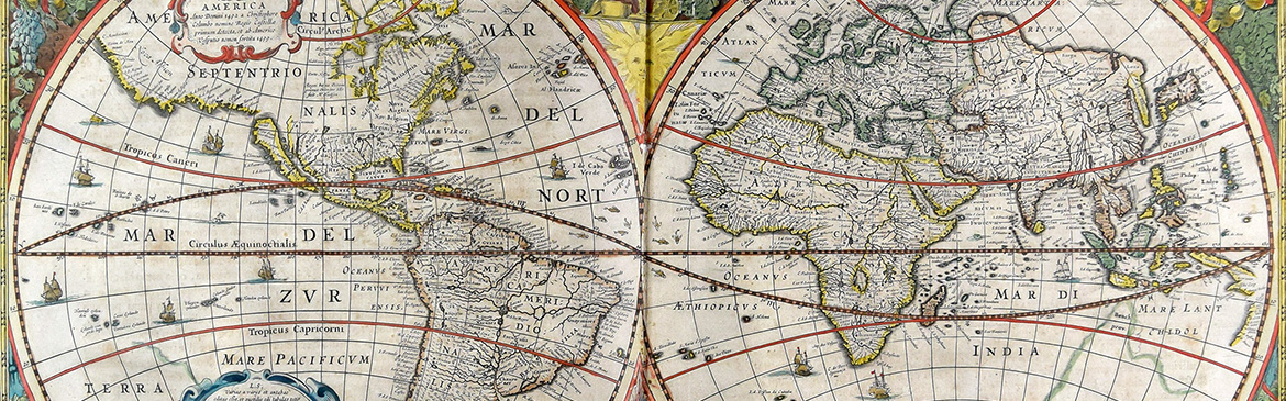
The Latin Tabula itineraria, or ‘road map’, is a reference to an ancient map of Roman tracts. Starting from one of the most basic and well-known cartographic units, it will be an opening to consider the history and contemporaneity of this type of collection, an attempt to indicate the evolution of the representation of the world and the use of these visualisations to navigate it.
Librarians, museum professionals, archivists, historians and geographers, conservators, scholars who base their research on cartographic collections, and those who create and use contemporary navigation systems are invited to participate actively and passively in the event scheduled for 20–21 November 2025. The aim of the meeting will therefore not only be a wide-ranging, interdisciplinary reflection on both the history of this type of collection, its production, collection, processing, storage and accessibility, but also an attempt to define its current status in an era of widespread digitisation and the possibility of movement thanks to special applications and the latest technologies.
The event will be accompanied by displays of cartographic collections from the resources of the National Archives in Cracow, the Scientific Library of the PAAS and the PAS, the Sosenko Family Foundation, the Institute of Geography and Spatial Management of the Jagiellonian University, the Jagiellonian University Museum and the Wawel Royal Castle – State Art Collection.